A powerful climate pattern known as El Niño is expected to return in the coming months and scientists are warning it could intensify, with far-reaching consequences for weather across the globe, including here in the UK.
The United States’ National Oceanic and Atmospheric Administration (NOAA) has said there is a 61 per cent chance of an El Niño emerging between May and July this year, with the possibility of it strengthening at the end of the year.
El Niño is part of a natural cycle in the Pacific Ocean, alongside its cooler counterpart La Niña .
It occurs when sea surface temperatures in the central and eastern tropical Pacific rise above average, disrupting normal wind patterns and shifting rainfall around the world.
The European Union’s climate change service reported sea surface temperatures in March to already be the second-highest on record for the month, behind March 2025.
Grahame Madge, Senior press officer and climate science communicator at the Met Office, said “scientists are telling us that this could be the strongest El Niño event this so far century”.
These changes may seem distant, but they can trigger a cascade of knock-on effects - influencing everything from storms to heatwaves thousands of miles away.
A Super El Niño is a non-scientific term that is often used to describe a very strong El Niño, which is declared when ocean temperatures are at least 0.5C above average.
A ‘Super El Niño’ is then declared when sea temperatures exceed 2C above average.
These events are rare but can dramatically amplify global weather extremes.
What does a Super El Niño mean for the UK?
While El Niño’s most direct impacts are felt in regions like the Americas, Africa and Australia, it can still shape British weather in subtle ways.
Historically, strong El Niño winters have been linked to milder, wetter conditions in parts of northern Europe, including the UK, although the relationship is not always straightforward.
More broadly, a strong El Niño tends to push global temperatures higher by releasing heat from the oceans into the atmosphere.
That could increase the likelihood of record-breaking global warmth in the next couple of years, building on an already accelerating trend driven by climate change .
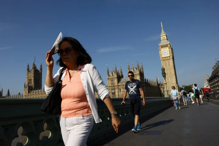
For the UK, that may translate into an increased risk of unusual weather patterns, from unseasonably warm spells to periods of heavy rainfall.
It can also influence storm tracks across the Atlantic, potentially affecting how and where winter storms develop.
Globally, the stakes are higher.
Super El Niños have previously been linked to severe droughts in some regions, flooding in others, and heightened wildfire risk, alongside widespread disruption to agriculture, ecosystems and economies.
There is still uncertainty over how strong this developing El Niño will become.
Forecasting at this time of year is particularly challenging, and scientists caution that projections may shift in the months ahead.
Related Stories


Source: This article was originally published by Evening Standard
Read Full Original Article →
Comments (0)
No comments yet. Be the first to comment!
Leave a Comment